Daijiworld Media Network - Islamabad
Islamabad, Feb 13: Pakistan has formally raised concerns with the United States after a map shared by the Office of the United States Trade Representative depicted Pakistan-occupied Kashmir (PoK) and Aksai Chin as part of India, a move that triggered embarrassment in Islamabad before the post was deleted.
According to Pakistan’s Foreign Ministry, the map was published on social media by handles linked to the US trade office while releasing details of a new trade framework between India and the United States. The depiction marked a departure from Washington’s earlier representations of the disputed region.
Foreign Ministry spokesperson Tahir Andrabi said Pakistan immediately took up the matter with US authorities, pointing out that the map was inaccurate and did not align with what it described as the United Nations-recognised depiction of Jammu and Kashmir.
“The map was put up by certain handles. We contacted US authorities. They realised that the map was incorrect. The international map on J&K, which delineates Pakistani and Indian territories, is legally sanctioned by the UN. If you go to the UN website, you will see the actual map,” Andrabi said during a media briefing.
He added that Pakistan “notes with satisfaction that the US side made the requisite corrections to highlight the legal UN-sanctioned map of our region, which clearly delineates J&K as a disputed territory, whose settlement is to be done through a UN-administered plebiscite in accordance with UNSC resolutions”.
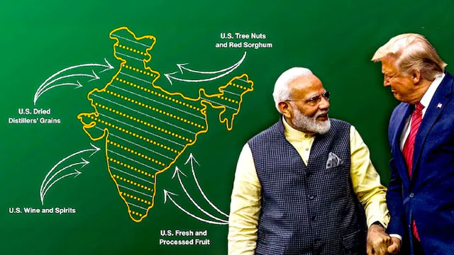
The controversy emerged after India and the United States announced a framework for a trade deal last week aimed at resetting tariffs and expanding market access between the two economies. While releasing details of the agreement, the US trade office published a map of India that showed the entire Jammu and Kashmir region, including PoK, as part of India. The map also included Aksai Chin, a territory claimed by China.
Although India’s territorial sovereignty does not require validation from Washington, the depiction was seen as a significant shift from the US government’s long-standing practice of presenting the region as disputed.
As speculation grew over whether the map was posted in error or reflected a calibrated diplomatic repositioning amid improving India-US ties, the Office of the United States Trade Representative deleted the post from its official X account, effectively ending the immediate controversy.