Daijiworld Media Network - Panaji
Panaji, Nov 1: With a trough over the southeast Arabian Sea off the south Kerala-Karnataka coast and another weather system prevailing over the Bay of Bengal, the India Meteorological Department (IMD), Panaji, has forecast light rain or thundershowers in Goa on November 2 and 3.
The IMD had earlier forecast rainfall at isolated places on November 4 and 5.
The trough is associated with an upper-air cyclonic circulation over the south Maharashtra coast. Meanwhile, a low-pressure area over the southeast Bay of Bengal and adjoining Andaman and Nicobar Islands continues to persist over the region.
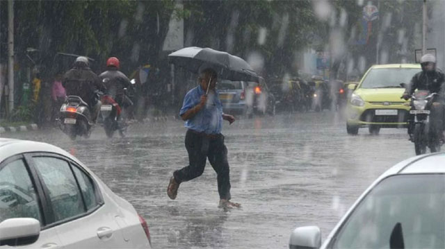
Post-monsoon rainfall in Goa during October stood at 65.3 mm against the normal of 164.8 mm, registering a deficit of 60.4 per cent.
After an extended spell of elevated day and night temperatures during October, the mercury has dropped in recent days, bringing some relief to residents.
On Tuesday, the minimum temperature fell to 21.1 degrees Celsius, which was 2.4 degrees below normal. During the following days, minimum temperatures remained between 22 and 23 degrees Celsius, within the normal range.
"Occasional cloud and rain, changing winds and atmospheric circulation have reduced temperatures over Goa," said M R Ramesh Kumar, retired chief scientist of the National Institute of Oceanography (NIO).
He said winter cooling across the Indian subcontinent, along with Cyclone Arnab's landfall on the east coast, may also have contributed to the drop in temperatures.
Although maximum temperatures remained below 34 degrees Celsius for a few days, the mercury touched 36 degrees Celsius on Tuesday, which was 3.3 degrees above normal.
However, the IMD's Panaji observatory recorded maximum temperatures of 32.8 degrees and 33.5 degrees Celsius on the subsequent days, both within the normal range.
Clear skies during the evening allow heat radiation accumulated during the day to escape rapidly, resulting in a faster drop in temperatures and the formation of dew.