Daijiworld Media Network – United Nations
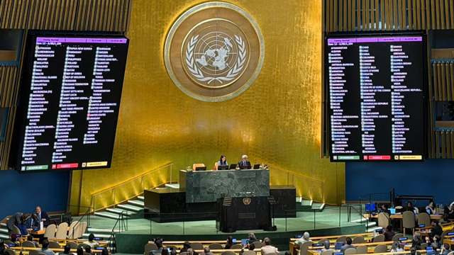
United Nations, Sep 5: The United Nations on Saturday adopted a new world map projection aimed at providing a more accurate representation of the relative sizes of continents, giving Africa a larger visual presence while reducing the apparent size of Europe and North America.
The resolution supporting the Equal Earth cartographic projection was backed by 164 countries, while six nations abstained. The move, however, faced opposition from the United States.
The Equal Earth projection, developed by cartographers in 2018, preserves the relative surface areas of continents while maintaining their shapes as closely as possible to their appearance on a globe.
The UN resolution encourages member states to use the Equal Earth projection instead of the traditional Mercator projection, which was developed by Flemish cartographer Gerardus Mercator in 1569 primarily for maritime navigation.
The Mercator projection preserves the shape and angles of land masses but significantly distorts their relative sizes when representing the three-dimensional Earth on a flat surface. Regions farther from the equator appear considerably larger than they actually are.
Under the Mercator projection, countries and continents in the northern parts of the world, including Europe and North America, appear much larger, while Africa and South America appear comparatively smaller. The Equal Earth projection seeks to correct this imbalance by maintaining the relative area of land masses.
Togo, which sponsored the resolution, highlighted the influence of maps on education, public perception and people's understanding of geography. The country argued that distorted representations can continue to influence perceptions across generations.
The United States opposed the resolution, maintaining that the UN should concentrate on more urgent global challenges rather than debating established map projections.
France, which co-sponsored the resolution, has also announced plans to move away from the Mercator projection. French officials noted that the traditional map gives disproportionate visual prominence to countries such as the United States, Russia and China, while making Africa, Latin America and Southeast Asia appear smaller.
The adoption of the Equal Earth projection comes amid France's efforts to strengthen its relations with African countries, including several former colonies where ties have experienced tensions in recent years.
The new map does not alter the actual geography of the world but seeks to provide a more proportionate visual representation of the size of the world's continents.